![south carolina map 1898 - south carolina map stock illustrations](https://media.gettyimages.com/id/1182772053/vector/south-carolina-map-1898.jpg?s=612x612&w=gi&k=20&c=blXeBpTJhOUVcQCMJPvNuuQs5B5vZnKmcLGQ2Hqeexg=)
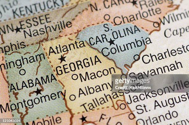
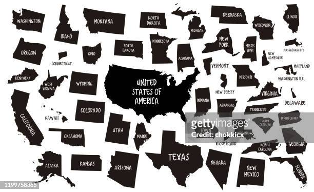
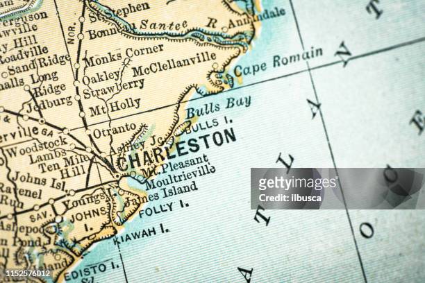
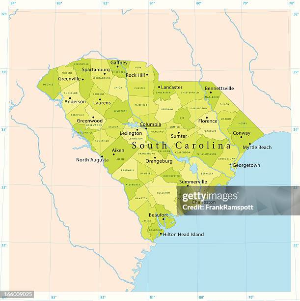
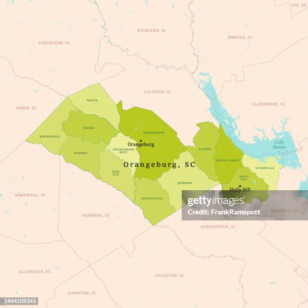
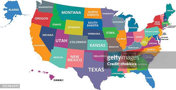
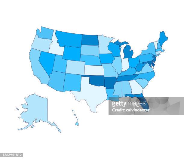
1,195 South Carolina Map Stock Photos and High-res Pictures
Browse 1,195 authentic south carolina map stock photos, high-res images, and pictures, or explore additional charleston or north and south carolina map stock images to find the right photo at the right size and resolution for your project.
![south carolina map 1898 - south carolina map stock illustrations](https://media.gettyimages.com/id/1182772053/vector/south-carolina-map-1898.jpg?s=612x612&w=gi&k=20&c=blXeBpTJhOUVcQCMJPvNuuQs5B5vZnKmcLGQ2Hqeexg=)
![antique usa map close-up detail: charleston, south carolina - south carolina map stock illustrations](https://media.gettyimages.com/id/1152576012/vector/antique-usa-map-close-up-detail-charleston-south-carolina.jpg?s=612x612&w=gi&k=20&c=4_5ZV4PwELheEFqD7K_6HEqbctt90CBJAvSyFs7XnJE=)
![plan of the siege of charleston, american revolutionary war - south carolina map stock illustrations](https://media.gettyimages.com/id/1157613727/vector/plan-of-the-siege-of-charleston-american-revolutionary-war.jpg?s=612x612&w=gi&k=20&c=PJyCWRvxyLPOebzsbza_wCujHKE9jVusPeUP3kgzgYo=)
NEXT