Uganda 3D Render Topographic Map Neutral - stock photo
3D Render of a Topographic Map of Uganda.
All source data is in the public domain.
Color texture: Made with Natural Earth.
http://www.naturalearthdata.com/downloads/10m-raster-data/10m-cross-blend-hypso/
Relief texture: NASADEM data courtesy of NASA JPL (2020). URL of source image:
https://doi.org/10.5067/MEaSUREs/NASADEM/NASADEM_HGT.001
Water texture: SRTM Water Body SWDB:
https://dds.cr.usgs.gov/srtm/version2_1/SWBD/
Boundaries Level 0: Humanitarian Information Unit HIU, U.S. Department of State (database: LSIB)
http://geonode.state.gov/layers/geonode%3ALSIB7a_Gen

Get this image in a variety of framing options at Photos.com.
PURCHASE A LICENCE
All Royalty-Free licences include global use rights, comprehensive protection, and simple pricing with volume discounts available
335.00 €
EUR
Getty ImagesUganda 3d Render Topographic Map Neutral High-Res Stock Photo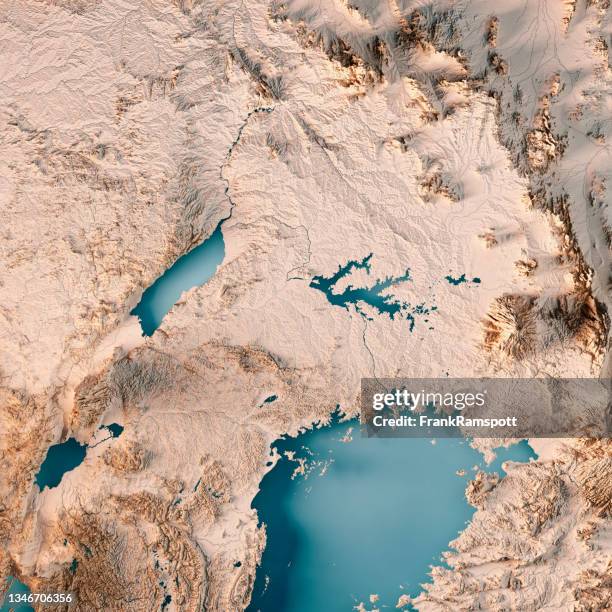 Download premium, authentic Uganda 3D Render Topographic Map Neutral stock photos from Getty Images. Explore similar high-resolution stock photos in our expansive visual catalogue.Product #:1346706356
Download premium, authentic Uganda 3D Render Topographic Map Neutral stock photos from Getty Images. Explore similar high-resolution stock photos in our expansive visual catalogue.Product #:1346706356335€50€
Getty Images
In stockDETAILS
Credit:
Creative #:
1346706356
Licence type:
Collection:
E+
Max file size:
5800 x 5800 px (49.11 x 49.11 cm) - 300 dpi - 35 MB
Upload date:
Location:
Uganda
Release info:
Property released
Categories:
- Uganda,
- Lake Victoria,
- Satellite View,
- Topographic Map,
- Aerial View,
- Africa,
- Brown,
- Cartography,
- Colour Image,
- Computer Graphic,
- Design,
- Digital Composite,
- Digitally Generated Image,
- East Africa,
- Illustration,
- Lake Albert - Africa,
- Landscape - Scenery,
- Map,
- No People,
- Overhead View,
- Physical Geography,
- Square - Composition,
- Three Dimensional,
- Topography,