Texas State USA 3D Render Topographic Map Border - stock photo
3D Render of a Topographic Map of the State of Texas, USA.
All source data is in the public domain.
Color texture: Made with Natural Earth.
http://www.naturalearthdata.com/downloads/10m-raster-data/10m-cross-blend-hypso/
Boundaries Level 1: USGS, National Map, National Boundary Data.
https://viewer.nationalmap.gov/basic/#productSearch
Relief texture and Rivers: SRTM data courtesy of USGS. URL of source image:
https://e4ftl01.cr.usgs.gov//MODV6_Dal_D/SRTM/SRTMGL1.003/2000.02.11/
Water texture: SRTM Water Body SWDB:
https://dds.cr.usgs.gov/srtm/version2_1/SWBD/

Get this image in a variety of framing options at Photos.com.
PURCHASE A LICENCE
All Royalty-Free licences include global use rights, comprehensive protection, and simple pricing with volume discounts available
335.00 €
EUR
Getty ImagesTexas State Usa 3d Render Topographic Map Border High-Res Stock Photo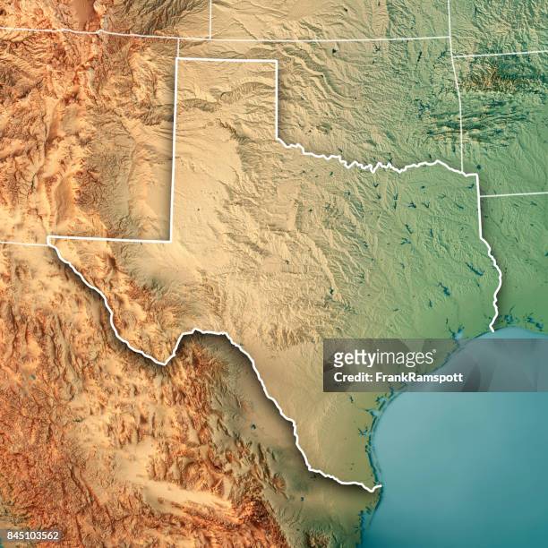 Download premium, authentic Texas State USA 3D Render Topographic Map Border stock photos from Getty Images. Explore similar high-resolution stock photos in our expansive visual catalogue.Product #:845103562
Download premium, authentic Texas State USA 3D Render Topographic Map Border stock photos from Getty Images. Explore similar high-resolution stock photos in our expansive visual catalogue.Product #:845103562335€50€
Getty Images
In stockDETAILS
Credit:
Creative #:
845103562
Licence type:
Collection:
E+
Max file size:
5800 x 5800 px (49.11 x 49.11 cm) - 300 dpi - 24 MB
Upload date:
Location:
Germany
Release info:
Property released
Categories:
- Texas,
- Map,
- Topography,
- Topographic Map,
- USA,
- North America,
- Computer Graphic,
- Satellite View,
- Aerial View,
- Cartography,
- Gulf Coast States,
- Gulf of Mexico,
- Three Dimensional,
- Atlantic Ocean,
- Chihuahua Desert,
- Chisos Mountains,
- Colour Image,
- Country - Geographic Area,
- Design,
- Digital Composite,
- Digitally Generated Image,
- Germany,
- Illustration,
- Landscape - Scenery,
- National Border,
- No People,
- Outdoors,
- Overhead View,
- Palo Duro Canyon State Park,
- Physical Geography,
- Rio Grande - USA and Mexico,
- River Colorado,
- Sea,
- Square - Composition,
- US State,