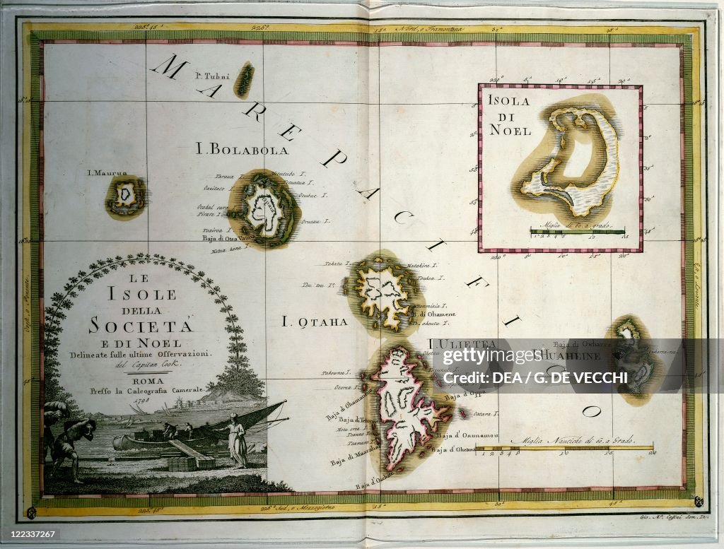
Polynesia, the Society and Christmas Islands, engraving based on maps drawn by James Cook
UNSPECIFIED - CIRCA 1900: History of Exploration, 18th century. Polynesia, the Society and Christmas Islands. Engraving based upon the maps drawn by James Cook. (Photo By DEA / G. DE VECCHI/De Agostini via Getty Images)

PURCHASE A LICENCE
How can I use this image?
335.00 €
EUR
Getty ImagesPolynesia, the Society and Christmas Islands, engraving based on maps..., News Photo Polynesia, the Society and Christmas Islands, engraving based on maps... Get premium, high resolution news photos at Getty ImagesProduct #:122337267
 Polynesia, the Society and Christmas Islands, engraving based on maps... Get premium, high resolution news photos at Getty ImagesProduct #:122337267
475€150€
Getty Images
In stockDETAILS
Restrictions:
Contact your local office for all commercial or promotional uses.
Credit:
Editorial #:
122337267
Collection:
De Agostini
Date created:
01 January, 1900
Upload date:
Licence type:
Release info:
Not released. More information
Source:
De Agostini Editorial
Barcode:
112239209
Object name:
11288691
Max file size:
3422 x 2598 px (28.97 x 22.00 cm) - 300 dpi - 4 MB
- Christmas Island,
- 18th Century,
- 18th Century Style,
- Aerial View,
- Archipelago,
- Archival,
- Art And Craft,
- Biology,
- Cartography,
- Coastline,
- Colonialism,
- Day,
- Empire,
- Engraved Image,
- French Overseas Territory,
- Guidance,
- History,
- Horizontal,
- Illustration,
- Island,
- Map,
- Navigational Equipment,
- Non-Urban Scene,
- One Person,
- Outdoors,
- People,
- Polynesia,
- Science and Technology,
- Sea,
- Society Islands,
- The Past,
- Topography,
- Travel,
- Western Script,