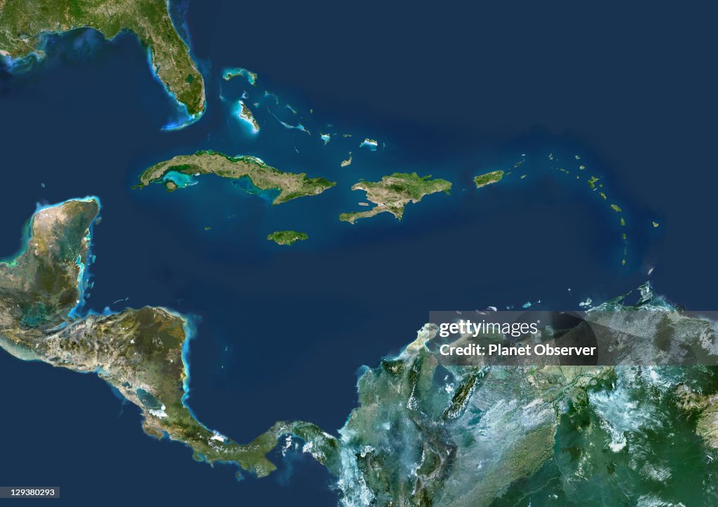
Caribbean Islands, True Colour Satellite Image
Caribbean Islands, true colour satellite image. This image was compiled from data acquired by LANDSAT 5 & 7 satellites., Caribbean Islands, True Colour Satellite Image (Photo by Planet Observer/Universal Images Group via Getty Images)

PURCHASE A LICENCE
How can I use this image?
335.00 €
EUR
Getty ImagesCaribbean Islands, True Colour Satellite Image, News Photo Caribbean Islands, True Colour Satellite Image Get premium, high resolution news photos at Getty ImagesProduct #:129380293
 Caribbean Islands, True Colour Satellite Image Get premium, high resolution news photos at Getty ImagesProduct #:129380293
475€150€
Getty Images
In stockPlease note: images depicting historical events may contain themes, or have descriptions, that do not reflect current understanding. They are provided in a historical context. Learn more.
DETAILS
Restrictions:
Contact your local office for all commercial or promotional uses.
Credit:
Editorial #:
129380293
Collection:
Universal Images Group
Date created:
01 January, 2002
Upload date:
Licence type:
Release info:
Not released. More information
Source:
Universal Images Group Editorial
Object name:
913_03_PO00074
Max file size:
4961 x 3508 px (42.00 x 29.70 cm) - 300 dpi - 9 MB
- Map,
- Caribbean Sea,
- Satellite View,
- Archipelago,
- Barbados,
- Beach,
- Central America,
- Colour Image,
- Cuba,
- Dominican Republic,
- Environment,
- Fort de France,
- French Overseas Territory,
- Guadeloupe,
- Horizontal,
- Image,
- Island,
- Jamaica,
- Kingston - Jamaica,
- Martinique,
- Outer Space,
- Physical Geography,
- Pointe-a-Pitre,
- Port-au-Prince,
- Santo Domingo - Dominican Republic,
- Science,
- Science and Technology,
- Tourism,
- USA,