Various types of dotted maps of Europe resolutions - stock illustration
Set of 5 dotted maps of Europe in 5 different resolutions: from very low to ultra high, and two outline maps: with and without division by countries.

Get this image in a variety of framing options at Photos.com.
PURCHASE A LICENCE
All Royalty-Free licences include global use rights, comprehensive protection, and simple pricing with volume discounts available
335.00 €
EUR
Getty ImagesVarious Types Of Dotted Maps Of Europe Resolutions High-Res Vector Graphic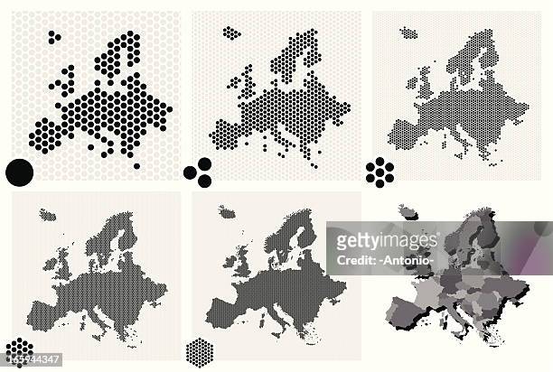 Download premium, authentic Various types of dotted maps of Europe resolutions stock illustrations from Getty Images. Explore similar high-resolution stock illustrations in our expansive visual catalogue.Product #:165944347
Download premium, authentic Various types of dotted maps of Europe resolutions stock illustrations from Getty Images. Explore similar high-resolution stock illustrations in our expansive visual catalogue.Product #:165944347335€50€
Getty Images
In stockDETAILS
Credit:
Creative #:
165944347
Licence type:
Collection:
DigitalVision Vectors
Max file size:
4973 x 3345 px (19.40 x 13.05 cm) - 651 dpi - 32 MB
Upload date:
Release info:
No release required
Categories:
- Europe,
- Map,
- Spotted,
- Vector,
- Abstract,
- Unity,
- Circle,
- Data,
- Design,
- Digitally Generated Image,
- Technology,
- Grid Pattern,
- Half Tone,
- Global Positioning System,
- Pattern,
- Pixellated,
- Cartography,
- In Silhouette,
- Outline,
- Concepts,
- Elegance,
- Geographical Locations,
- Ideas,
- Illustration,
- The Internet,
- Concepts & Topics,
- Design Element,
- Dividing,
- Futuristic,
- Global,
- Global Communications,
- Mosaic,
- Part Of,
- Polka Dot,
- Separation,
- Sharing,
- Virtual Reality,
- Wire-frame Model,