Map of South America 19th Century - stock illustration
Vintage map of South America from the 19th Century

Get this image in a variety of framing options at Photos.com.
PURCHASE A LICENCE
All Royalty-Free licences include global use rights, comprehensive protection, and simple pricing with volume discounts available
335.00 €
EUR
Getty ImagesMap Of South America 19th Century High-Res Vector Graphic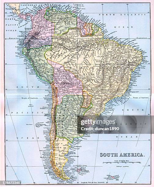 Download premium, authentic Map of South America 19th Century stock illustrations from Getty Images. Explore similar high-resolution stock illustrations in our expansive visual catalogue.Product #:174672348
Download premium, authentic Map of South America 19th Century stock illustrations from Getty Images. Explore similar high-resolution stock illustrations in our expansive visual catalogue.Product #:174672348335€50€
Getty Images
In stockDETAILS
Credit:
Creative #:
174672348
Licence type:
Collection:
DigitalVision Vectors
Max file size:
4130 x 5016 px (34.97 x 42.47 cm) - 300 dpi - 29 MB
Upload date:
Release info:
No release required
Categories:
- Map,
- Ecuador,
- Argentina,
- Brazil,
- Colombia,
- French Guiana,
- Venezuela,
- Amazon Region,
- Antique,
- Bolivia,
- Chile,
- Falkland Islands,
- French Overseas Territory,
- Guyana,
- Manufactured Object,
- Navigational Equipment,
- No People,
- Obsolete,
- Old,
- Old-fashioned,
- Paraguay,
- Patagonia - Argentina,
- Patagonia - Chile,
- Peru,
- Photography,
- South America,
- Southern Atlantic Islands,
- Surinam,
- Tierra Del Fuego Archipelago,
- Tierra del Fuego Province - Argentina,
- Uruguay,
- Vertical,