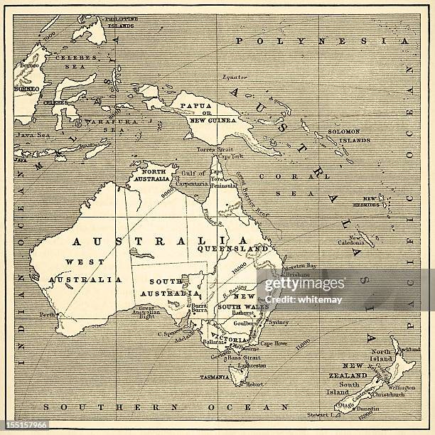
Map of Australasia (1882 engraving) - stock illustration
Old map of Australasia from "Royal Geographical Readers no. 5" of Asia, Africa, America and Oceania, publ. T Nelson & Sons, London in 1883.

Get this image in a variety of framing options at Photos.com.
PURCHASE A LICENCE
All Royalty-Free licences include global use rights, comprehensive protection, and simple pricing with volume discounts available
335.00 €
EUR
Getty ImagesMap Of Australasia High-Res Vector Graphic Download premium, authentic Map of Australasia (1882 engraving) stock illustrations from Getty Images. Explore similar high-resolution stock illustrations in our expansive visual catalogue.Product #:155157966
 Download premium, authentic Map of Australasia (1882 engraving) stock illustrations from Getty Images. Explore similar high-resolution stock illustrations in our expansive visual catalogue.Product #:155157966
335€50€
Getty Images
In stockDETAILS
Credit:
Creative #:
155157966
Licence type:
Collection:
DigitalVision Vectors
Max file size:
4788 x 4786 px (40.54 x 40.52 cm) - 300 dpi - 18 MB
Upload date:
Release info:
Model and property released
Categories:
- Map,
- Australia,
- The Past,
- Solomon Islands,
- Old-fashioned,
- 19th Century,
- 19th Century Style,
- Illustration,
- New Zealand,
- Antique,
- History,
- 1880-1889,
- Antarctic Ocean,
- Arafura Sea,
- Asia,
- Australasia,
- British Empire,
- Celebes Sea,
- Colonial Style,
- Colour Image,
- Coral Sea,
- Cultures,
- Engraved Image,
- Exploration,
- Horizontal,
- Indonesia,
- Island Of Borneo,
- Java,
- New South Wales,
- Northern Territory - Australia,
- Obsolete,
- Pacific Ocean,
- Papua New Guinea,
- Physical Geography,
- Polynesia,
- Queensland,
- Sepia Toned,
- Sketch,
- Social History,
- South Australia,
- Tasmania,
- Victoria - Australia,
- Western Australia,