Map of Antarctica - stock illustration
Vintage Map of Antarctica and the South Polar Region from 1891.

Get this image in a variety of framing options at Photos.com.
PURCHASE A LICENCE
All Royalty-Free licences include global use rights, comprehensive protection, and simple pricing with volume discounts available
335.00 €
EUR
Getty ImagesMap Of Antarctica High-Res Vector Graphic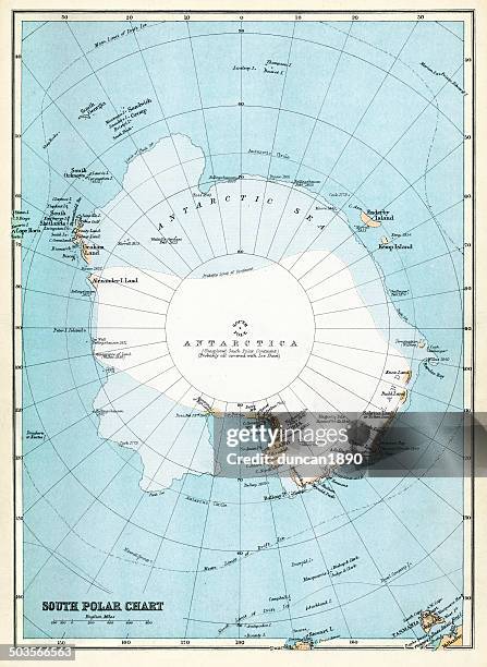 Download premium, authentic Map of Antarctica stock illustrations from Getty Images. Explore similar high-resolution stock illustrations in our expansive visual catalogue.Product #:503566563
Download premium, authentic Map of Antarctica stock illustrations from Getty Images. Explore similar high-resolution stock illustrations in our expansive visual catalogue.Product #:503566563335€50€
Getty Images
In stockDETAILS
Credit:
Creative #:
503566563
Licence type:
Collection:
DigitalVision Vectors
Max file size:
5480 x 7500 px (46.40 x 63.50 cm) - 300 dpi - 34 MB
Upload date:
Release info:
Model and property released
Categories:
- Map,
- Antarctica,
- South Pole,
- Sea,
- 1890-1899,
- 19th Century,
- 19th Century Style,
- Antarctic Ocean,
- Antique,
- Architectural Dome,
- Cartography,
- Colour Image,
- Equipment,
- Geometric Shape,
- Hemisphere,
- History,
- Ice,
- Icecap,
- Illustration,
- Navigational Equipment,
- No People,
- Obsolete,
- Old,
- Old-fashioned,
- Physical Geography,
- Retro Style,
- Shape,
- South,
- Southern Hemisphere,
- Styles,
- The Past,
- Three Dimensional,
- Vertical,
- Victorian Style,
- Water,