Detailed World Map Divided into Six Continents - Accurate & Correct Version - stock illustration
Vector Illustration World Map on White Background. Courtesy of the PCL Map Collection: http://www.lib.utexas.edu/maps/world.html (Public Domain PCL Map Collection).

Get this image in a variety of framing options at Photos.com.
PURCHASE A LICENCE
All Royalty-Free licences include global use rights, comprehensive protection, and simple pricing with volume discounts available
335.00 €
EUR
Getty ImagesDetailed World Map Divided Into Six Continents Accurate Correct Version High-Res Vector Graphic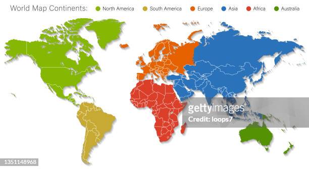 Download premium, authentic Detailed World Map Divided into Six Continents - Accurate & Correct Version stock illustrations from Getty Images. Explore similar high-resolution stock illustrations in our expansive visual catalogue.Product #:1351148968
Download premium, authentic Detailed World Map Divided into Six Continents - Accurate & Correct Version stock illustrations from Getty Images. Explore similar high-resolution stock illustrations in our expansive visual catalogue.Product #:1351148968335€50€
Getty Images
In stockDETAILS
Credit:
Creative #:
1351148968
Licence type:
Collection:
DigitalVision Vectors
Max file size:
8855 x 4845 px (74.97 x 41.02 cm) - 300 dpi - 23 MB
Upload date:
Location:
United States
Release info:
No release required
Categories:
- World Map,
- Map,
- Continent - Geographic Area,
- Vector,
- Europe,
- Country - Geographic Area,
- Planet Earth,
- Asia,
- Global,
- Flat Design,
- Africa,
- Physical Geography,
- Mexico,
- The Americas,
- Cartography,
- North,
- North America,
- China - East Asia,
- National Border,
- South America,
- Illustration,
- India,
- Multi Coloured,
- UK,
- South,
- Russia,
- Sea,
- Atlantic Ocean,
- Australia,
- Italy,
- Netherlands,
- Pacific Ocean,
- Topography,
- Canada,
- France,
- Japan,
- Plain Background,
- Switzerland,
- Antarctica,
- Atlantic Islands,
- Brazil,
- Germany,
- Green Colour,
- Horizontal,
- Island,
- Land,
- No People,
- Oceania,
- Spain,